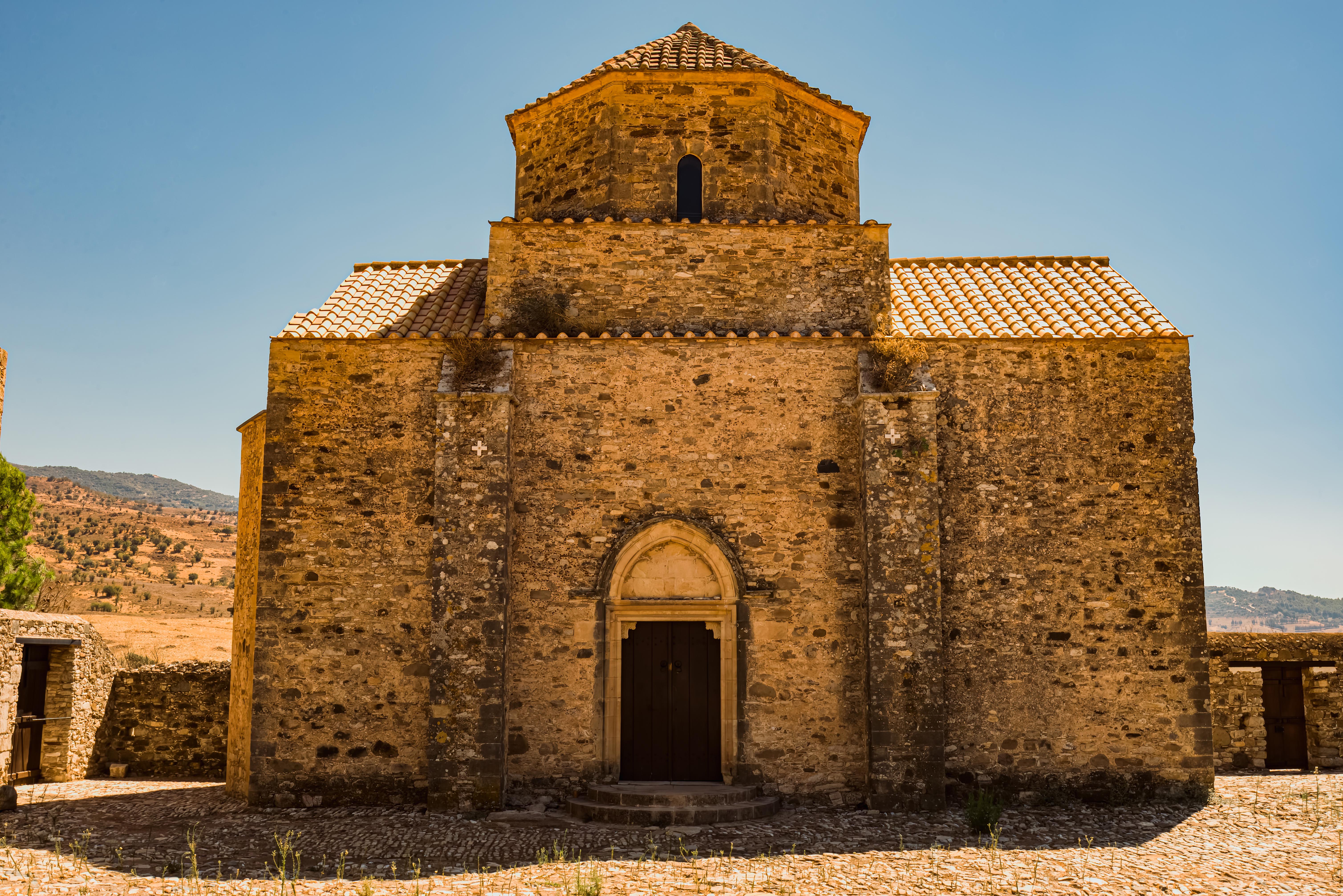
The abandoned monastery of Panagia tou Sinti is situated on the banks of the Xeros River in Pentalia, and is dedicated to the Virgin Mary (Panagia) of Sinti.
The church has an octagonal dome with four windows and belongs to the first half of the 16th century. Its central nave is in good condition, and it is considered to be one of the most important buildings of the Venetian period.
The Monastery remained in operation until 1927 and thereafter was abandoned. In 1994, the Monastery of Kykkos undertook the maintenance of the Monastery, completing it in 1997 when it earned the Europa Nostra Award for the use of good restoration techniques and preservation of its original character.
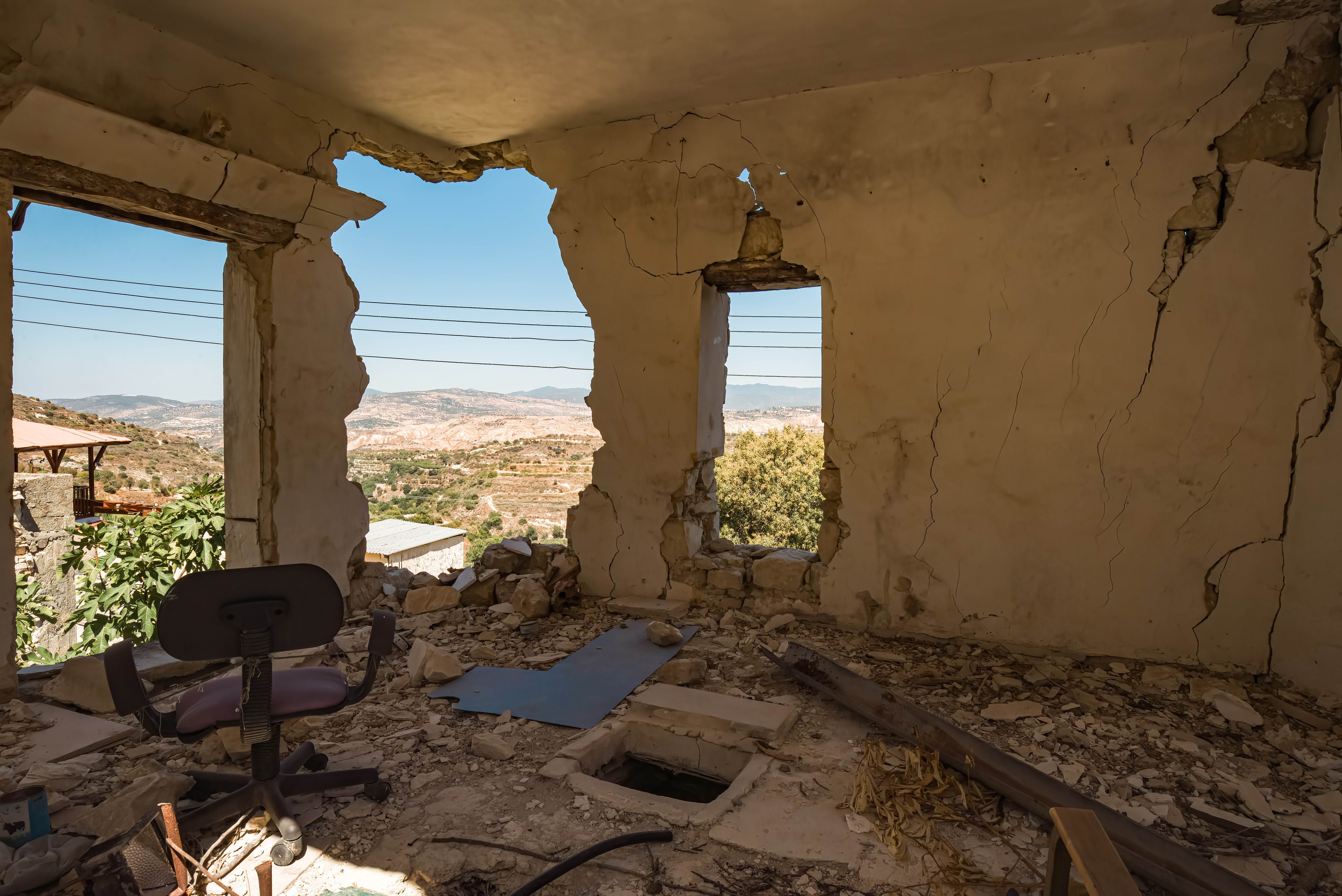
Old Theletra was abandoned several decades ago. The threat of landslides drove the population up the hill to a new settlement. Since then the village has mainly been left to crumble.
In the late 1970s, due to the danger of landslides caused by strong earthquakes, soil erosion and the impossibility of further development of the village, residents decided to move to a new place – to the top of the very hill where they lived. The government supported them in this affair and helped to found New Theletra, which was established in a safer place. By the way, no destructive landslides, which the residents feared so much, have not happened since that moment, but the danger still remains.
Coniston Water in the English county of Cumbria is the third-largest lake in the Lake District by volume (after Windermere and Ullswater), and the fifth-largest by area.[1] It is five miles long by half a mile wide (8 km by 800 m), has a maximum depth of 184 feet (56 m), and covers an area of 1.89 square miles (4.9 km2). The lake has an elevation of 143 feet (44 m) above sea level. It drains to the sea via the River Crake.
Little Langdale is a valley in the Lake District, England containing Little Langdale Tarn and a hamlet also called Little Langdale. A second tarn, Blea Tarn, is in a hanging valley between Little Langdale and the larger Great Langdale to the north. Little Langdale is flanked on the south and southwest by Wetherlam and Swirl How, and to the north and northwest by Lingmoor Fell and Pike of Blisco. The valley descends to join with Great Langdale above Elter Water.
Crummock Water is a lake in the Lake District in Cumbria, North West England situated between Buttermere to the south and Loweswater to the north. Crummock Water is 2.5 miles long, 0.75 mile wide and 140 feet deep. The River Cocker is considered to start at the north of the lake, before then flowing into Lorton Vale. The hill of Mellbreak runs the full length of the lake on its western side; as Alfred Wainwright described it ‘no pairing of hill and lake in Lakeland have a closer partnership than these’.
“The meaning of ‘Crummock’ seems to be ‘Crooked one’, from British” (Brythonic Celtic) “‘crumbaco’-‘crooked'”.[1]
This may refer to the winding course of the River Cocker, which flows
out of the lake, or refer to the bending nature of the lake itself. The
word “‘water’ is the main Lakeland term for ‘lake'” [1]
The lake is owned by the National Trust. Scale Force, the highest waterfall in the Lake District, feeds the lake and has a drop of 170 feet.[2]
Water from the lake is treated at Cornhow water treatment works, near Loweswater,[3] and is distributed to the towns of Silloth-on-Solway, Maryport, Workington, Whitehaven, and many smaller towns, villages, and hamlets in the surrounding area for drinking and all other uses.[4]
Crummock Water gained attention in 1988 when the body of Sheena
Owlett was found in the lake. It later transpired she had been murdered
in Wetherby, West Yorkshire.